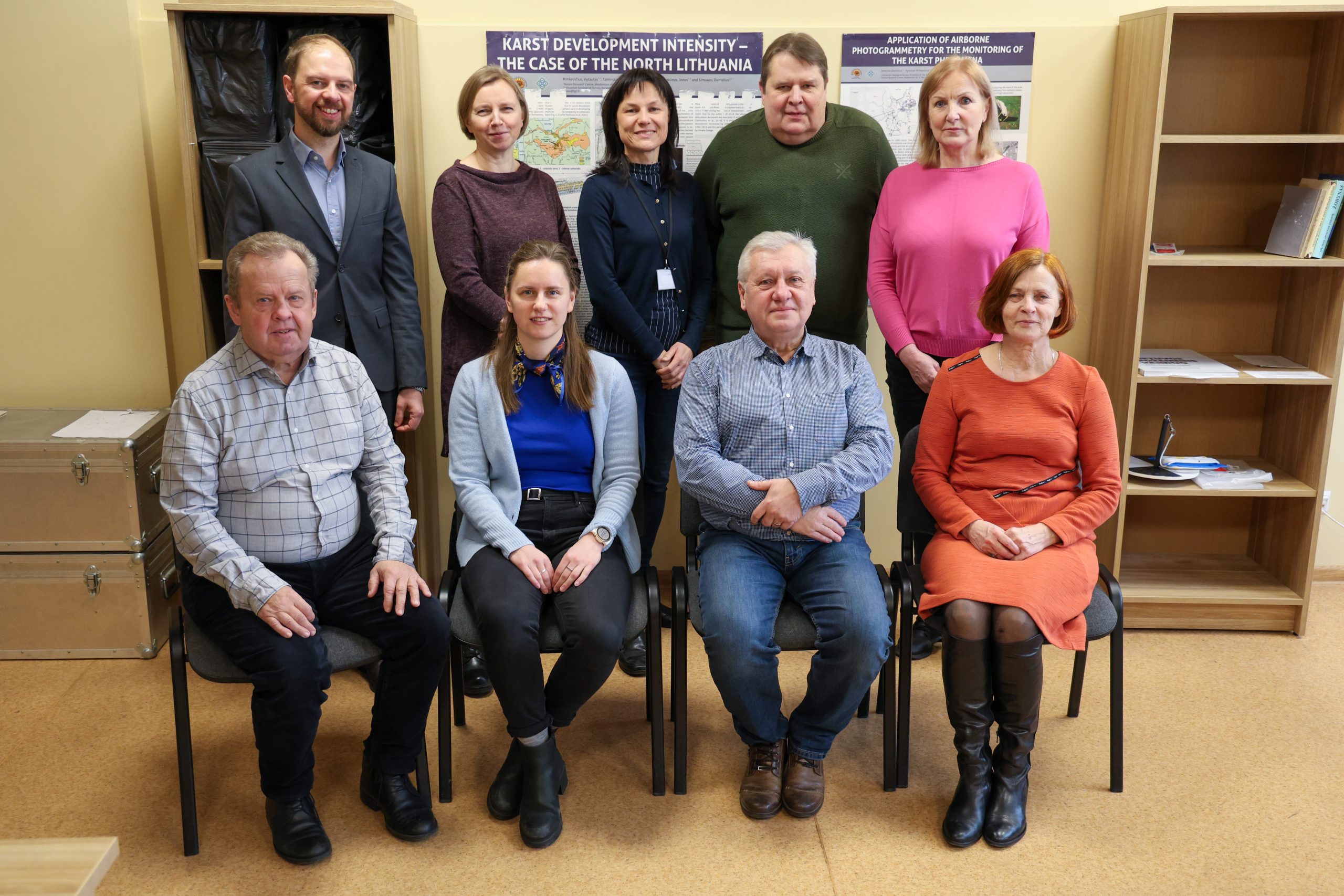
The scientists of the Laboratory of Climate and Water Research investigate the processes, resources, and quality of surface and underground water systems, as well as dangerous natural phenomena caused by hydroclimatic factors (karst, deformation of slopes, flooding, degradation of wetlands, etc.).
The research pursued by the laboratory is divided into two areas: 1) the impact of climate change on water balance, wetland formation, gypsum denudation and aquatic ecosystem stability; and 2) hydrogeochemical processes in aeration and saturation zones, regularities of underground water resource formation, and chemical composition under natural and disturbed conditions.
Traditional in situ and remote sensing research methods are used. Landsat, Terra Modis, and the most recent Copernicus satellite data (Sentinel) from the European Space Agency are used to monitor peatland surface, vegetation, and climate processes, as well as to assess changes in space and time.
In situ measurements, statistical analysis, and hydrogeochemical and numerical modelling methods are used and improved to assess the impact of climate change and anthropogenic activities on surface and underground water systems.

